Hello, welcome to Nanjing Longce surveying and Mapping Technology Co., Ltd!
语言选择:  ∷
∷ 
∷ ∷ 
Lead it
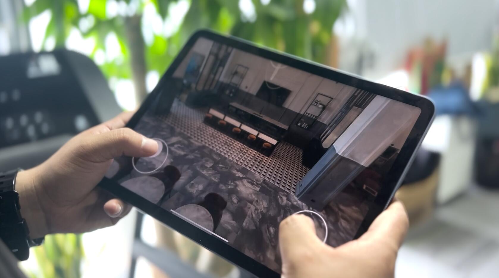
The ancient buildings are of high artistic, cultural and historical value and are the result of thousands of years of Chinese cultural precipitation and the wisdom of the working people.With the development of social economy, people pay more and more attention to the protection of ancient cultural relics. In the protection of ancient buildings, surveying and mapping of ancient buildings is a basic work with far-reaching significance.With the continuous development of science and technology and the development of computer technology, the means and methods of spatial data acquisition are constantly innovated, and the 3D laser scanner is produced.As an effective means of spatial data acquisition, it can quickly reflect the objective facts of things and play an important role in the surveying and mapping of ancient buildings.
1.1 Measurement principle of 3D laser scanner
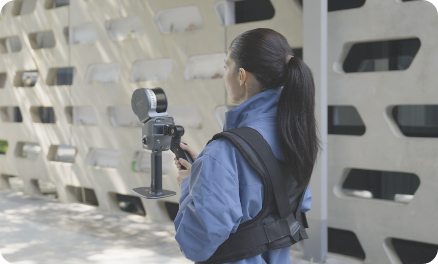
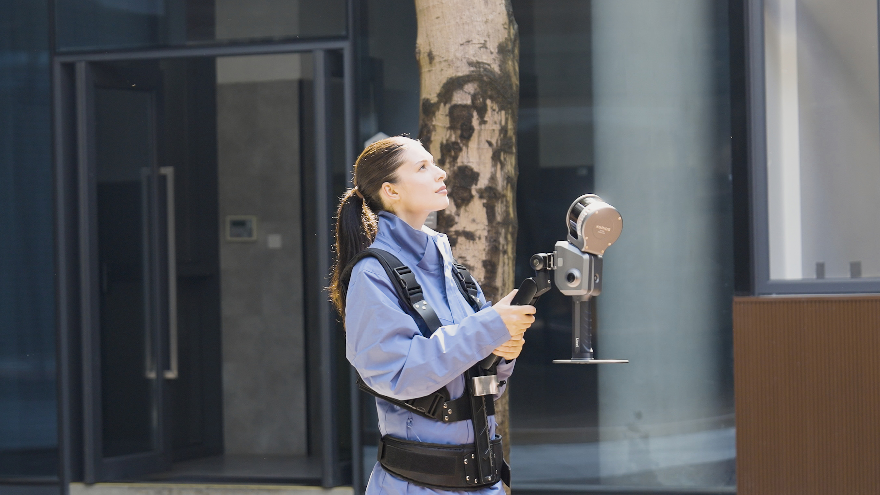
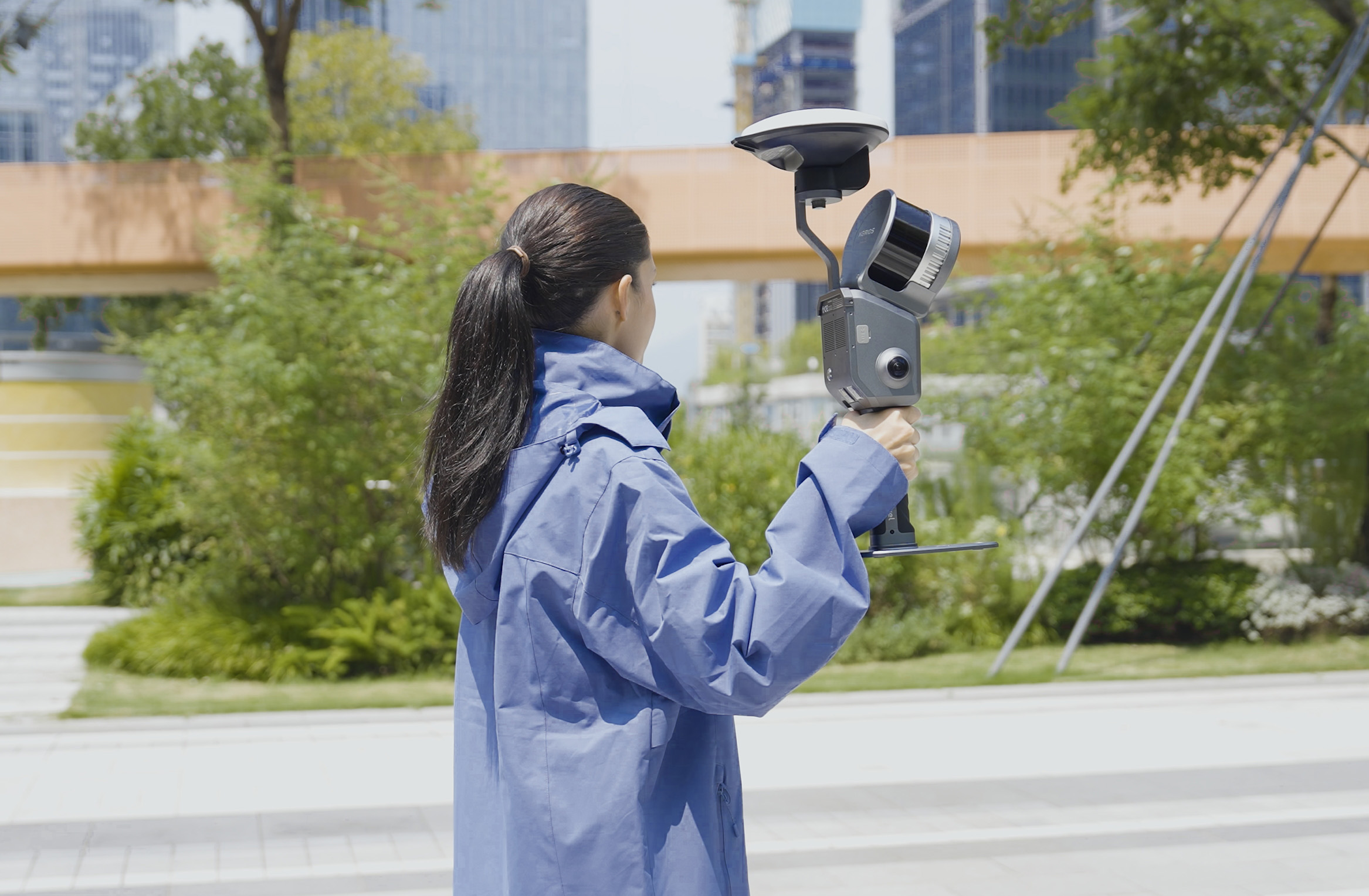
Three-dimensional laser scanner is a new measurement technology, which can carry out high-precision, direct, rapid and all-weather acquisition of information in a wide range of areas. It USES the principle of laser ranging to record three-dimensional space through the texture information, reflectivity and three-dimensional spatial coordinates of densely clustered objects.
1.2 Mapping of ancient Buildings
Surveying and mapping of ancient buildings is to directly apply surveying and mapping to the field of cultural heritage protection, to record, monitor and protect the architectural heritage.In the protection of ancient buildings, it is the most basic task to complete the mapping and archiving of protected objects and provide reference basis for future restoration and reconstruction.The measurement tools used in the traditional ancient building mapping are vertical ball, ruler and square, etc., and the data acquired in the end are often used in drawings and written records, which is inaccurate in the expression of the current situation and size of ancient buildings and prone to omission, resulting in adverse impact on the later work, resulting in a waste of resources.
2. The roles of 3D laser scanning technology and manual surveying and mapping in the application of ancient architecture are complementary
The application of 3D laser scanner in ancient architecture surveying and mapping greatly improves the precision of surveying and mapping, especially for large-size buildings.However, for the measurement of eaves, doors and Windows and other small structures, due to the limitations of scanning resolution and scanning accuracy, 3d laser scanner mapping can not meet the accuracy requirements;At the same time, the use of three-dimensional laser scanner mapping, only within the effective distance can be intuitively felt objects for scanning, for objects not easy to see the use of scanner mapping, it will greatly increase the workload of mapping;In addition, relative error is used to measure the error of length measurement. In the surveying and mapping of small structures, compared with instrument surveying and mapping, manual surveying and mapping has a higher precision.Therefore, in the surveying and mapping of ancient buildings, instrument surveying and mapping is an effective supplement to manual surveying and mapping, but can not replace manual surveying and mapping.
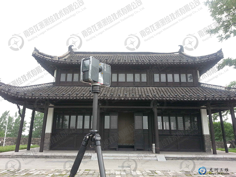
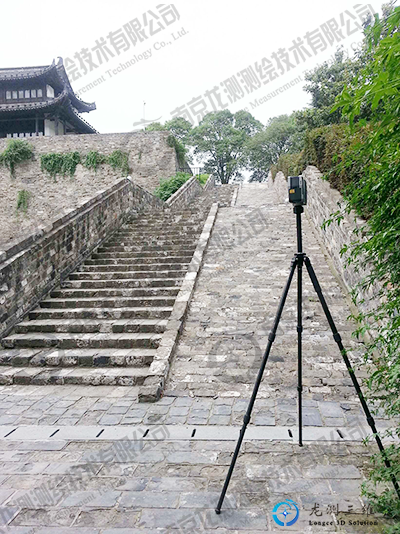
3. Sharing of application examples of 3D laser scanner in ancient architecture mapping
Example of surveying and mapping: The surveying and mapping of Nanjing Ming City Wall using a THREE-DIMENSIONAL laser scanner by an institute of cultural relics and archaeology is an example.The scanning speed of this instrument (FARO Laser Scanner) can reach 970,000 points /s, the actual maximum measurement is 620m, the scanning precision can reach 1mm, the built-in camera pixel is as high as 165 million, can record the image of the mapping target synchronously, providing reference for the later point cloud data processing.
 Sweep WeChat yards pay attention to us

Quotation and presentation requestliuchunlei@longce.net

The mobile phone+86 13851969931
Nanjing Longce Measurement Technology Co., Ltd Address:No.15 Xinghuo Road, Jiangbei new district, Nanjing,China. ICP:苏ICP备20044645号-1